

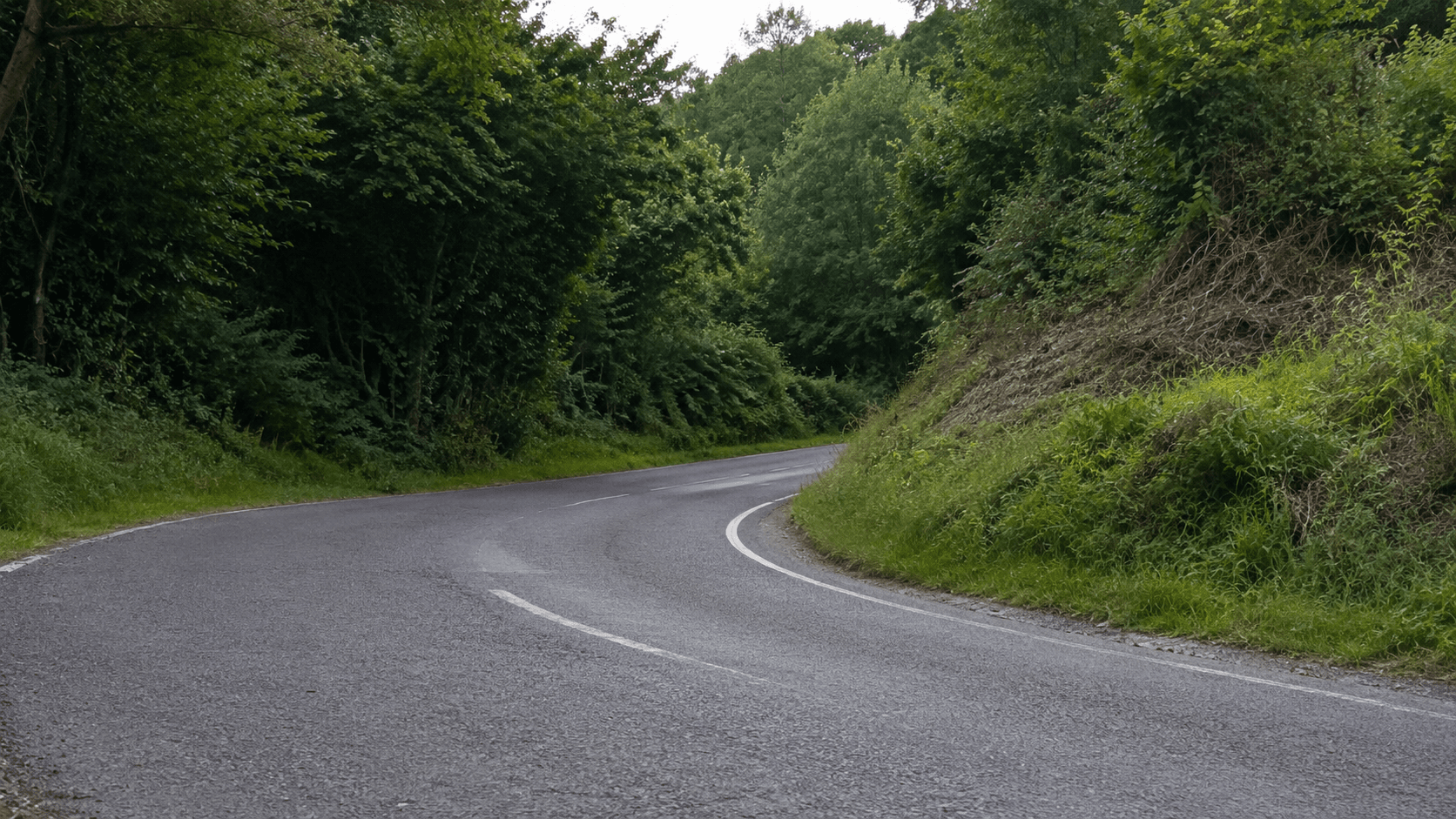
Finding a genuinely good driving road is a different job from finding a fast route. Ordinary navigation tools minimise time, distance or tolls. A memorable drive depends on the shape of the road, the landscape it crosses and whether the road makes sense for the car, the season and the time of day.
You can identify promising roads before leaving home. The method is part map reading, part local research and part restraint: a line that looks perfect on a screen can turn out to be residential, broken, private or simply too busy to enjoy.
Start with terrain, not a destination
Open a map and look for the places where roads have to negotiate the land: the edge of a ridge, the side of a valley, a river gorge, a pass between two peaks or an older route that a motorway replaced. Geography creates corners. It also creates views and a reason for the road to exist.
Move one layer away from the famous road everyone already knows. A well-known pass may be crowded, heavily enforced or closed for part of the year, while a parallel regional road carries the same landscape with less traffic. Satellite imagery and terrain shading help distinguish an exposed mountain road from a tree-lined connector that happens to look similar in plan view.
- Look along ridges, valleys, rivers and mountain passes.
- Check older roads bypassed by a newer motorway.
- Use terrain and satellite layers, not the line alone.
Read the rhythm of the road
A dense knot of hairpins is visually dramatic, but it does not automatically make a flowing drive. Look for variety: linked medium-radius bends, changes in direction that continue for several kilometres and enough straight road between technical sections for the route to breathe.
Zoom in. Map simplification can turn junctions into corners or hide tight bends entirely. A road with repeated driveways and side streets may have an attractive outline but feel fragmented on the ground. Continuous centre lines, sparse junctions and a consistent road classification are better clues than squiggles alone.
Check what the map does not tell you
Search the road name, nearby villages and recent images. You are looking for surface condition, width, seasonal closures, construction, tourist traffic and whether parts of the road pass schools, homes or busy trailheads. Street-level imagery can help, but its date matters—a resurfaced road and a deteriorated road can share the same old photograph.
Local cycling routes and scenic-drive guides are useful because they describe gradients, exposure and traffic. Treat them as context rather than permission. A road can be beautiful and still be a poor choice at the wrong hour or in the wrong weather.
- Confirm that the road is public and currently open.
- Check surface reports and the date of available imagery.
- Note villages, schools, trailheads and other shared spaces.
- Review weather and seasonal restrictions before setting off.
Build a route with an exit plan
A good route is usually a loop or a chain of two or three worthwhile sections, not an entire day of continuous corners. Add a fuel stop, a place to pause and a shorter alternative in case weather or traffic changes. Download the route for offline use where mobile coverage is uncertain.
Allow more time than the distance suggests. Narrow roads, villages and viewpoints slow the average naturally. If the schedule only works when every kilometre is driven at the limit, it is not a workable schedule.
Treat the first pass as reconnaissance
Conditions matter more than the plan. Drive the road once without chasing flow: note blind entrances, surface changes, cyclists, wildlife, water across the road and places where the map was misleading. A corner visible on a route trace is not a promise about what is beyond the hedge.
The useful question after the drive is not whether the road was fast. It is whether the route was coherent, appropriate and worth sharing—with enough context that the next driver understands what they are choosing.